|
Home
|
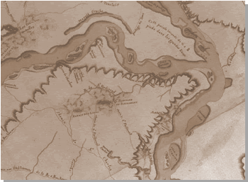
Introduction to Virtual River Travel These Lewis and Clark travel-day animations are virtual photo-realistic reconstructions of the Missouri River landscape using the data gleaned from the early U.S. GLO surveyor notes. The early U.S. surveyors dutifully noted the lay of the land, the general vegetative cover, the tree species present, and the specific locations of streams and rivers along their survey lines. These data have enabled us to reconstruct virtual landscapes of the Missouri River environment that offer these various visions into Missouri's past before it was put to the modifications of modern society. Notes:
|
|||
 Copyright © 2002 Curators of the University of Missouri
Dept. of Geography, Stewart Hall, Columbia MO 65211 URL: http://www.geog.missouri.edu Last Update: |
||||